A territory of great scenic beauty
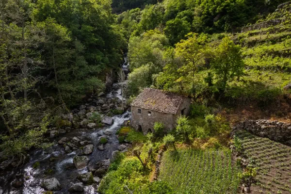
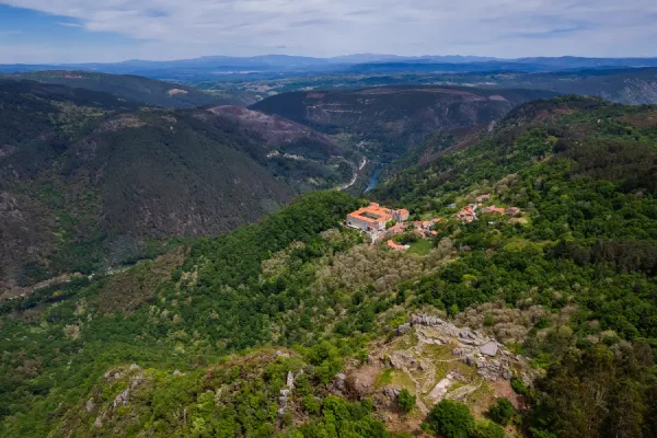
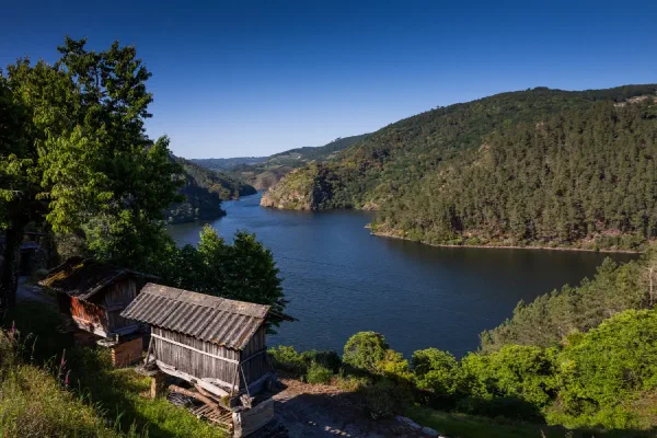
The spectacular canyons and river valleys sustain and single out the waterscape of the Ribeira Sacra. The deep, spectacular and successive loops are its emblem.
Nomination to the World Heritage List
Ribeira Sacra is the living story of the relationship between water and mankind, whose ingenuity has sculpted a waterscape over more than 1,500 years of continuous occupation.
Watch documentary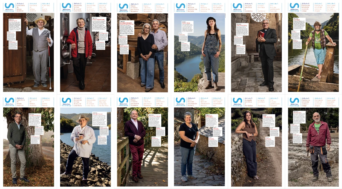
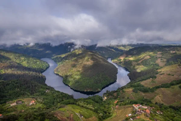
Ribeiraos and ribeirás People, Ideas and Places of Ribeira Sacra
A dozen people linked to the six attributes that characterize the Ribeira Sacra’s nomination for World Heritage.
See Ribeiraos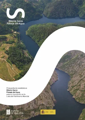
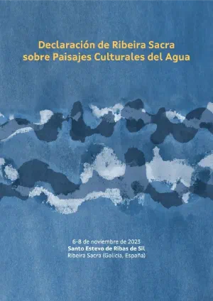
This document presents the candidacy of the Ribeira Sacra Waterscape to the World Heritage List

The publication “We Are Heritage” summarizes the process of local community participation in the candidacy through the Parish Council.
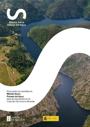
This document presents the candidacy of the Ribeira Sacra Waterscape to the World Heritage List
Ribeira Sacra has been declared a Heritage of Cultural Interest in the Cultural Landscape category since 2018.

The international meeting in 2024 alludes to the more than 900 water sources that flow throughout the territory of Ribeira Sacra
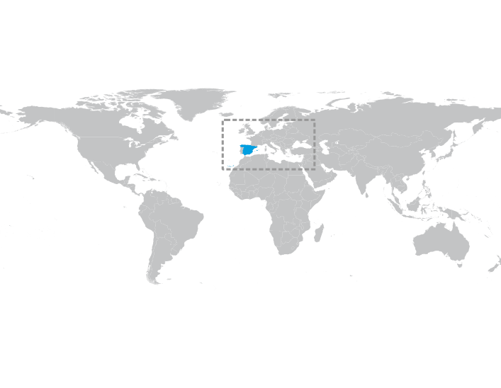
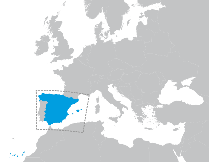
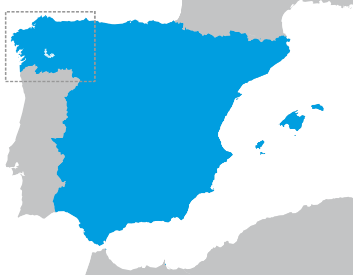
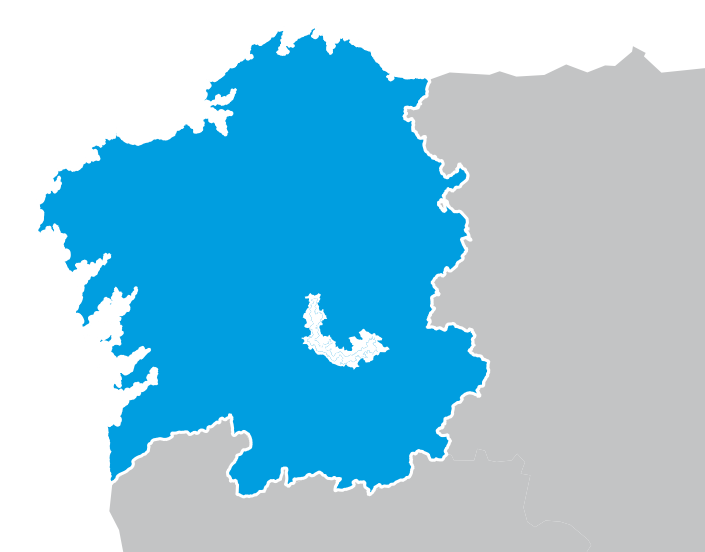
Provinces of Lugo and Ourense. Galicia, Spain.
Coordinates of Os Peares, where the rivers Sil and Miño meet.
(WGS 84) N 42° 27’ 14’’ / W 7° 43’ 50’’
(ETRS 89) Zona UTM 29N: 604352 / 4700981
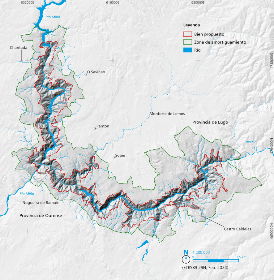
The river canyons of the rivers Sil and Miño between Santa María de Pesqueiras, to the west, and San Clodio de Ribas de Sil, to the east.
The layout of the 72 parishes configured since the Middle Ages and that still survive as identity references in the area.
To be an outstanding example of a traditional human settlement, land-use, or sea-use which is representative of a culture (or cultures), or human interaction with the environment especially when it has become vulnerable under the impact of irreversible change.
The nominated property shows an exceptional cultural waterscape embedded between the spectacular river canyons located at the confluence of the rivers Sil and Miño (Galicia, Spain), on the Atlantic coast of rainy Iberia, popularly known as Ribeira Sacra.
It is an epic landscape brought about by the culture and heritage of water, sustained by its countless streams, brooks and rivers that define its unique identity, beauty, composition and settlement patterns. It illustrates the origin and evolution of a territory sculpted by water and a paradigm of a water culture, in which the traces that have marked its construction over more than 1,500 years of continuous occupation can be vividly recognised, and that has its origins in the ancient hermit and monastic tradition rooted in this area.
The culture of water in these places is reflected in an exceptional water heritage that includes archaeological sites, the water-associated devices of all periods, including an important hydraulic industrial heritage, the unique drainage systems of the socalcos or crop terraces, as well as multiple other vernacular manifestations in the form of sacralised fountains and mines, canals, dams, passes and bridges, river routes and other unique works associated with water.
The power of water is a fundamental part of the cultural landscape narrative. The area of the nominated property contains an exceptional catalogue of heritage elements of hydraulic use that continuously bear witness to the energy self-sufficiency of each period, including traditional water mills from different centuries, whose works survive in exceptional number and density around the area of the property, followed by the mini-power stations or fábricas de luz (factories producing electricity) that emerged at the end of the 19th century, until the hydroelectric reservoirs of the mid-20th century arrived.
The spectacular canyons and river valleys sustain and single out the waterscape of the Ribeira Sacra. The deep, spectacular and successive loops are its emblem.
An immense repertoire of works that harness the power of water, from humble drinking fountains and innumerable traditional watermills to the engineering works of 20th-century hydroelectric dams.
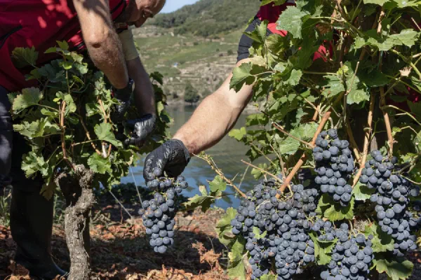
The survival of traditional farming systems on the steep slopes of river canyons supported by ancient techniques.
The hermit and monastic presence shaped much of the distinctive and functional traits of the cultural waterscape.
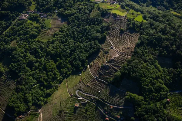
A landscape of thousands of tiny plots generated by ancestral formulas of land ownership and management, adapted to an abrupt territory.
The unique biocultural capital of a living cultural landscape and the intangible heritage associated with the culture of water.
100 years ago
In 1925, Ruth Matilda Anderson captured Ribeira Sacra in a series of historic photographs depicting Santo Estevo de Ribas de Sil, Belesar, and the Cortezada estate. Images courtesy of The Hispanic Society of America.
See photos