Ancestral ways of occupying territory
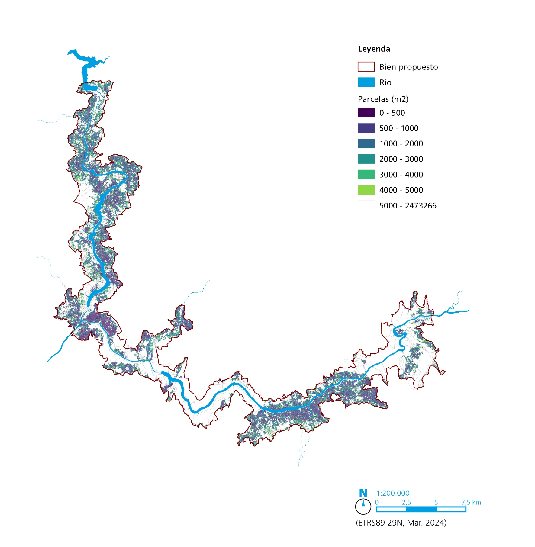
A landscape of thousands of tiny plots generated by ancestral formulas of land ownership and management, adapted to an abrupt territory.
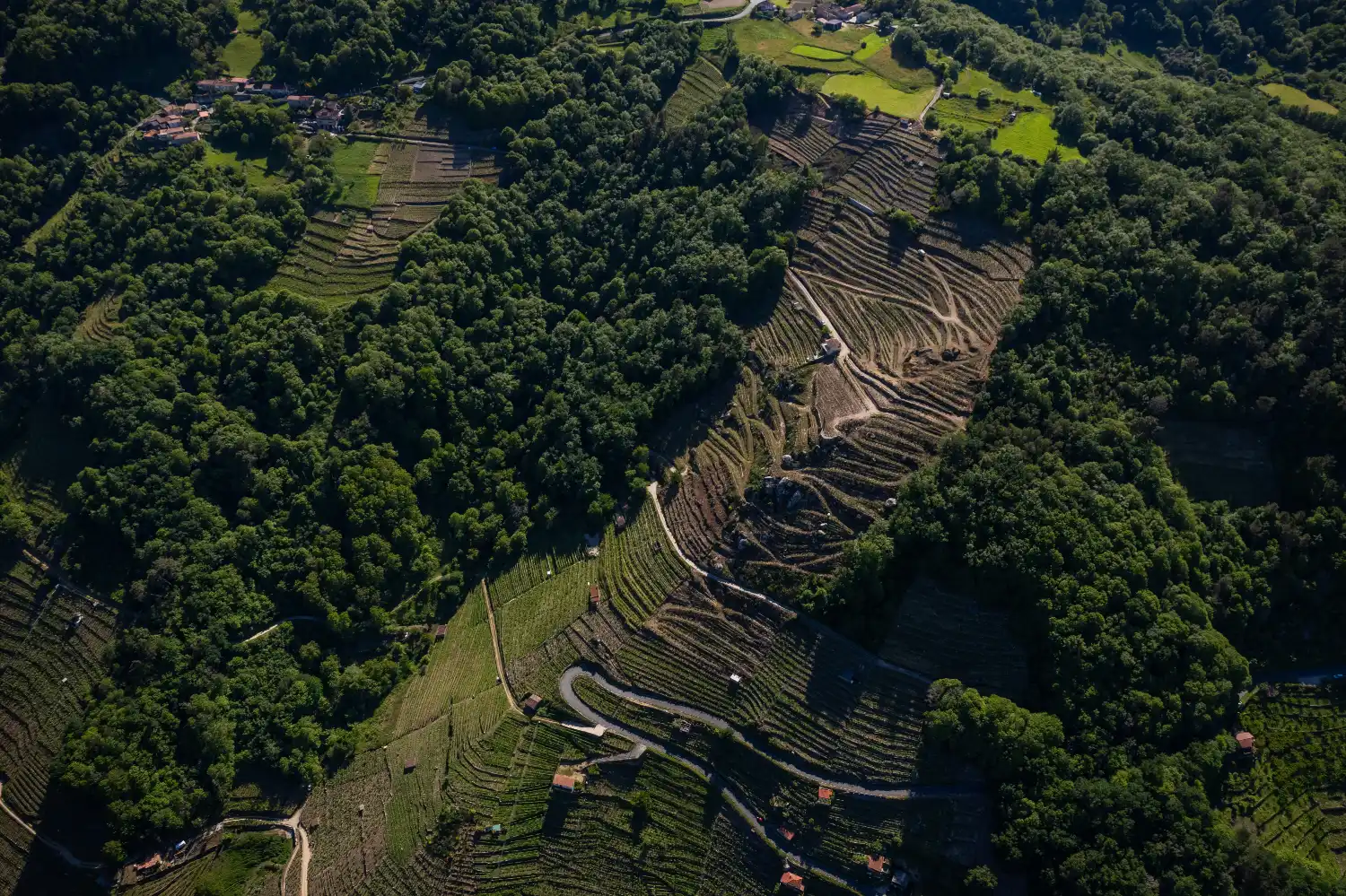
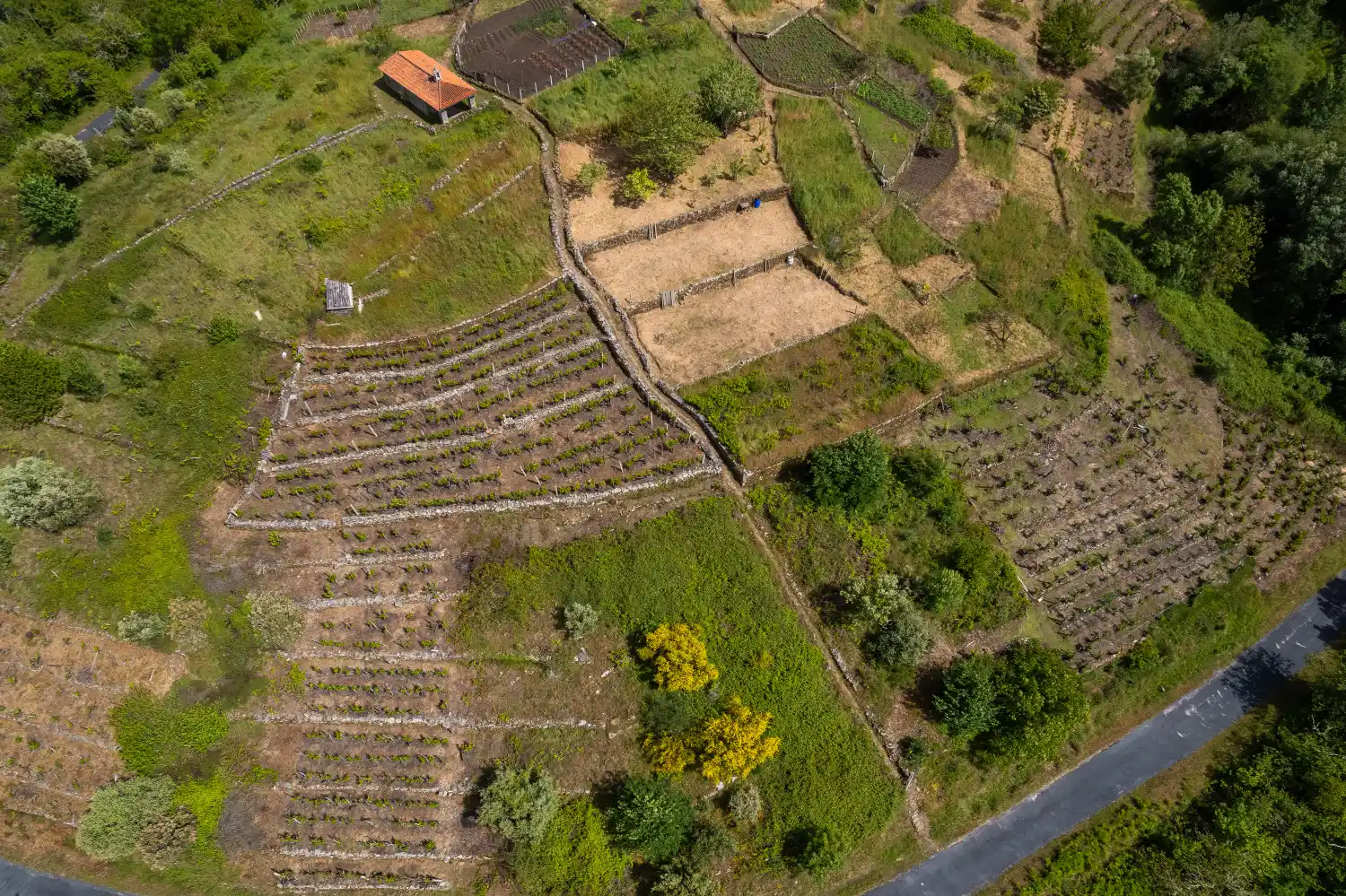
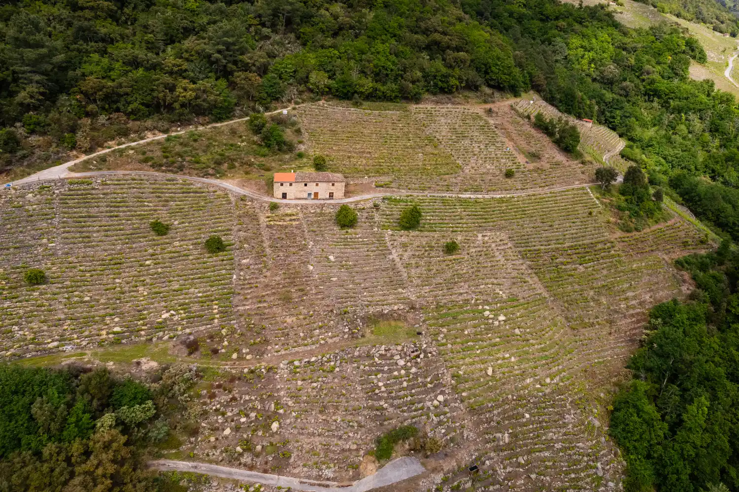
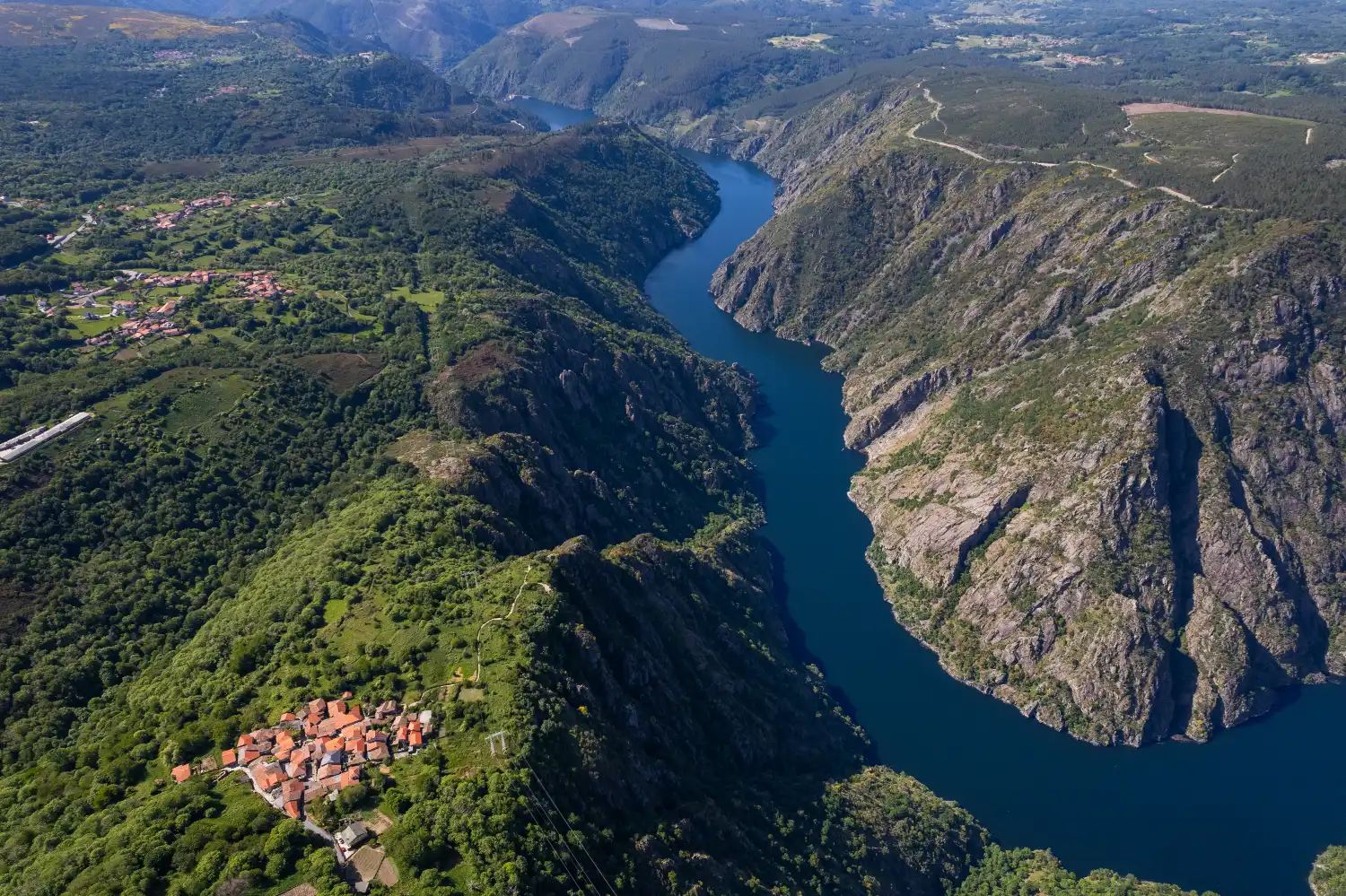
It is water that in many cases delimits the parishes, units of identity in rural areas. Rivers unite and separate. Numerous villages build their farmhouses on the bocarribeira, where the slopes begin and the socalcos, the terraces, descend into the abyss.
One of the most significant features is the extreme smallholding, which leaves its mark on the landscape. A parcel of land defined by traditional formulas of land ownership and use, such as the cavadura, a traditional measure of the surface and working area: the land that a person could work in a day for their livelihood.
They all survive in this epic landscape, brought together by the culture of water.
96.125 plots
394m² /plot (average surface area)
167 population centres
72 parishes